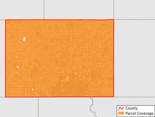
Minnehaha County
Parcel Data
Price: $200.00
Last Updated:
2025-Q1
Parcels in County:
75,343
Parcel data available to download as a GDB, GeoPackage, Shapefile, Excel, CSV, or Google Earth KML file.
All purchased data comes with six months of access, including any updates, at no additional cost.
Key attribute coverage for Minnehaha County
The percentage of Minnehaha County parcels containing the following key attributes:
Owner: 99.6%
Parcel Number: 100%
Acreage (Calculated): 100%
Site Address: 91.9%
Mailing Address: 99.6%
All available attributes in Minnehaha County
Parcel Number
Site Address
Owner
Land Use Code
Land Use Class
Zoning
Acreage (deeded)
Acreage (calculated)
Perimeter
Municipality
School District
Zip Code
Flood Zone
Flood Zone Subtype
Census Tract
Census Block Group
Census Block
Mail Address1
Mail Address3
Legal Desc1
Buildings
Addr Sec Unit Num
Place Gnis Code
Land Cover
Elevation
Owner Occupied
Robust Id
Usps Residential
Plss Description
Plss Township
Plss Range
Plss Section
Crop Cover
Acreage Adjacent With Sameowner
Municipalities Respresented in Minnehaha County
Baltic City: 587
Brandon City: 3,795
Colton City: 436
Crooks City: 617
Dell Rapids City: 1,751
Garretson City: 604
Hartford City: 1,362
Humboldt Town: 374
Sherman Town: 73
Sioux Falls City: 51,280
Valley Springs City: 436
Valley Springs Township: 344
Red Rock Township: 328
Split Rock Township: 2,341
Brandon Township: 711
Mapleton Township: 1,259
Wayne Township: 1,413
Benton Township: 661
Wall Lake Township: 779
Hartford Township: 530
Wellington Township: 321
Humboldt Township: 359
Palisade Township: 355
Edison Township: 434
Sverdrup Township: 847
Lyons Township: 567
Grand Meadow Township: 341
Clear Lake Township: 259
Highland Township: 221
Logan Township: 336
Dell Rapids Township: 568
Burk Township: 375
Taopi Township: 366
Buffalo Township: 312
Save money when you buy data in bulk
We offer discounted pricing on county and state downloads.